
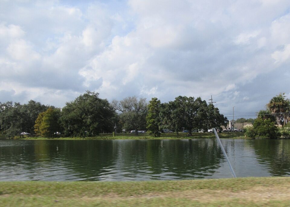
Every great city has an origin story, and New Orleans begins on the calm water of Bayou St. John. Native Americans knew this slow, oak-lined waterway as Bayouk Choupic and used it for centuries; in 1699 they showed French explorers Bienville and Iberville the short portage between the bayou and the Mississippi River. That back-door route to Lake Pontchartrain was a key reason New Orleans was founded in 1718 exactly where it stands today.
Today the bayou is one of the city’s favorite outdoor living rooms. A 2.6-mile stretch runs along the eastern edge of City Park, with grassy banks, footpaths busy with joggers and dog-walkers, and the paved 4.7-mile Wisner Bike Path following its western edge. Egrets stalk the shallows, kayaks and canoes drift under historic bridges, and the lawns invite picnics and fishing at golden hour.
The scenery layers history into every view: moss-draped live oaks, handsome old homes in the Faubourg St. John and Mid-City neighborhoods, and the Pitot House, a 1799 West Indies-style plantation home turned museum, watching over the water. WPA crews gave the bayou its concrete levees and graceful bridges in 1936, shaping the peaceful corridor bordered by seven neighborhoods.
Best of all, it is free and always open. Come at sunrise for mirror-still reflections, bring a blanket for sunset, and pair the stroll with a day in City Park next door — this is New Orleans at its gentlest.
Photo: Infrogmation via Wikimedia Commons (CC BY-SA 4.0)