
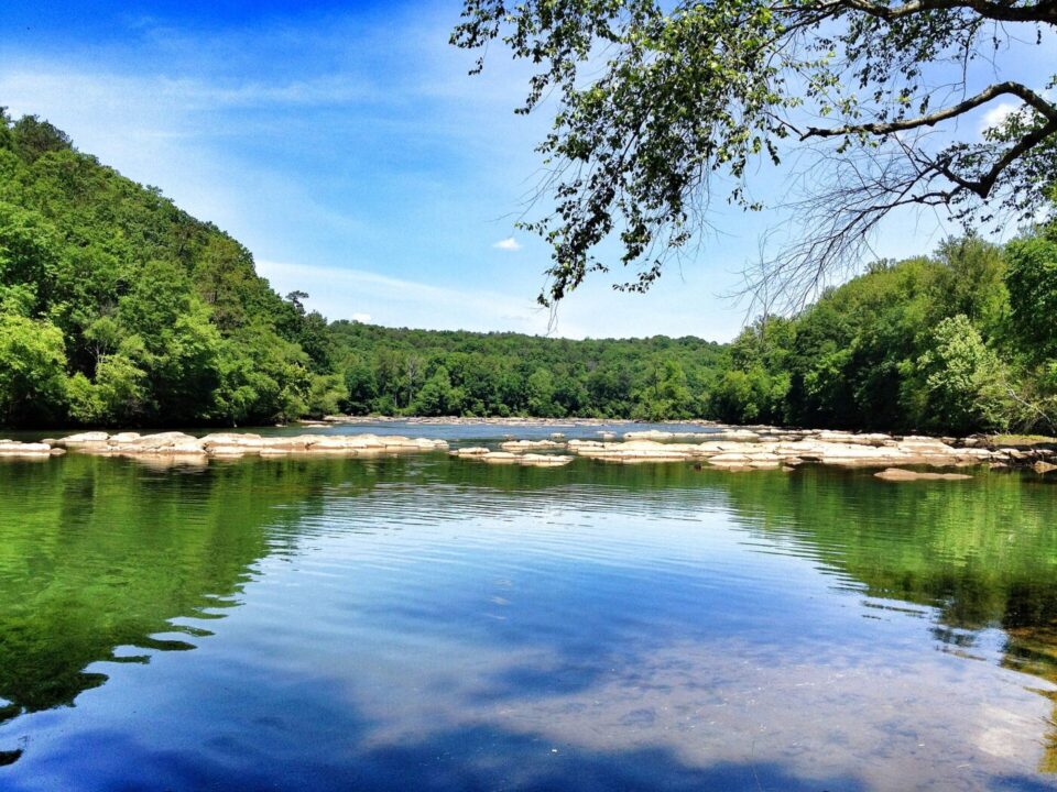
Atlanta has a river running through its story, and the Chattahoochee River National Recreation Area protects its happiest stretch: some 48 miles of the Chattahoochee River, from Buford Dam and Lake Lanier in the north down through the city, preserved as a ribbon of forest, shoals and quiet water in the middle of the metro area. The National Park Service unit weaves together 15 park areas along the river, so Atlantans are never far from a boat launch, a fishing spot or a shady trailhead.
The variety is the joy of it. At East Palisades, trails climb through hardwood forest and bamboo thickets to bluffs above the river, with the bamboo forest feeling like a secret world minutes from the city. Island Ford, the park headquarters area in Sandy Springs, offers gentle riverside paths and a historic lodge setting. Cochran Shoals is a local favorite for flat, family-friendly walking and running beside wide, sparkling shoals, while Johnson Ferry and Powers Island put paddlers and anglers right on the water. In all, the recreation area holds more than 60 miles of trails for walking, hiking and mountain biking.
The river itself is the main event: kayakers and rafters float its gentle reaches, anglers cast for trout in the cool tailwater below Buford Dam, and herons, deer and river otters remind visitors that this is a living ecosystem, not just a backdrop. Because the units are spread along the corridor from Lake Lanier to Atlanta, every visit can feel different – a sunrise paddle, a picnic on a sandy bank, or a leafy Saturday hike. It is the place Atlanta goes to breathe.
Photo: Wikimedia Commons